Over a year ago, I showed how to render OpenStreetMap on your Qt application. While there were few follow-ups after that, I never found some time to clean it up. But worry no more, here is one OpenStreetMap-related example (at roughly 250 lines of code) I just made public, freshly available from X2 repository under the graphics/mapsnap. It’s operated from command line, basically you pass the center latitude and longitude, zoom level (1..17, with 17 is the detailed, street-level zoom), output filename (e.g. mymap.png), and the size.
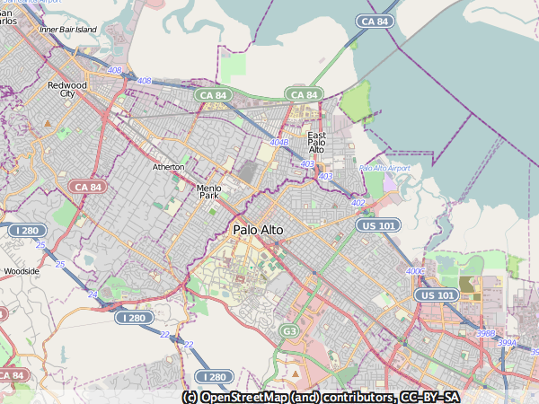
The following image is the result of running:
mapsnap 37.45108 -122.15917 12 sample.png 600 450
The tool will grab the tiles, more precisely Mapnik-rendered tile images, and stitch them for the final outcome:
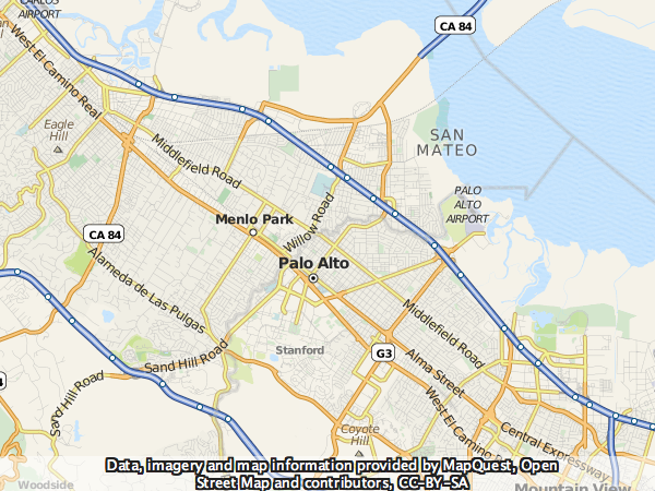
Few weeks ago I wrote about MapQuest embracing OpenStreetMap. One positive impact of this awesome move is that you can show OpenStreetMap-based MapQuest tiles in your application. It’s just the same map data but rendered using different styles. Running the previous example but with MapQuest flavor gives the following:
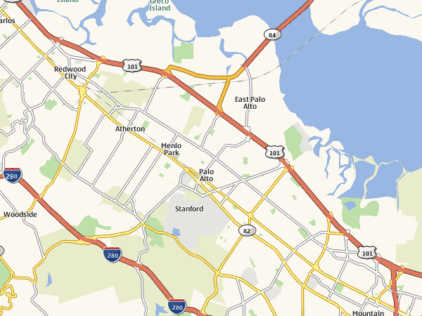
When checking out Qt Mobility after its 1.1 TP announcement, I found out that its Maps/Navigation API actually uses the tile data from Ovi Maps. If you read the source code, the tile server encoding scheme is pretty obvious. Since it is also based on Mercator projection, changing this MapSnap example to use tiles from Ovi Maps is a breeze: it’s a matter of setting up the correct tileURL.
I’m curious about the terms of such Ovi Maps tile usage, though. Although it is more or less “exposed” via Qt Mobility and there is no API key whatsoever, surely it should not mean the tiles are free for everyone, should it? As a comparison, Google Static Maps API specifically allows only browser-based application. Feel free to share your investigation!


