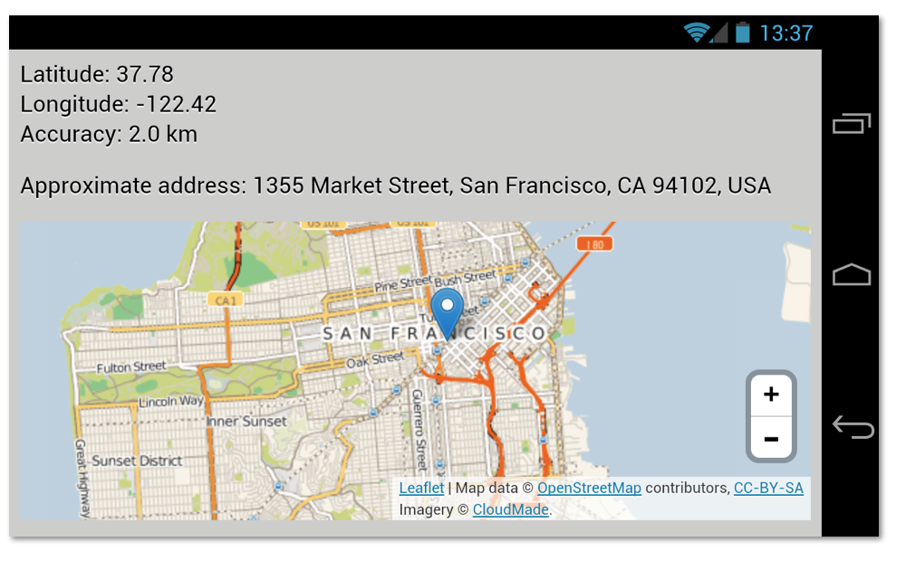
Geolocation feature in a web browser is the key to improve the location-awareness of a web app. The following simple geolocation demo combines the information given by the browser with a textual geocoded address and a visual marker in a map.

Getting the approximate address is not difficult to achieved using Google Maps Reverse Geocoding API. In fact, this was exactly how I have done it in my previous geolocation example. Now, displaying the location itself is also not a difficult matter, one can simple use the ubiquitous Google Maps or the alternatives such as OpenStreetMap.
With the recent release of Leaflet 0.6, I finally found some extra motivation to show how to use it in this context. For the tile data itself, I decided to give CloudMade a try (you need to sign up to get the API key and enjoy 500,000 free tiles every month). It took only a few minutes to implement this feature, combining Leaflet and CloudMade, especially if you follow Leaflet’s Getting Started guide. Some relevant code fragment:
map = L.map('map').setView([coords.latitude, coords.longitude], 11);
map.zoomControl.setPosition('bottomright');
L.tileLayer('http://{s}.tile.cloudmade.com/apikey/997/256/{z}/{x}/{y}.png', {
  attribution: 'Map data © ...', maxZoom: 18
}).addTo(map);
geocoder.geocode({'latLng': pos}, function (results, status) {
  var addr;
  if (status == google.maps.GeocoderStatus.OK) {
    addr = results[].formatted_address;
    geocode.textContent = addr;
    L.marker([coords.latitude, coords.longitude]).addTo(map).bindPopup(addr);
});
Using Leaftlet, the map also works well on a variety of mobile platforms, everything from Android smartphones to Chromebook Pixel. And yes, it understands touch API for smooth panning and zooming. It feels good when pinch-to-zoom just works!
To give it a try, hit ariya.github.io/html/geolocation with your modern browser.